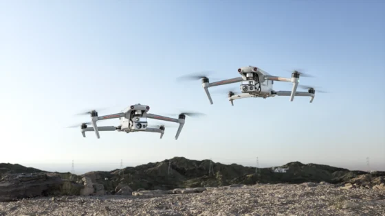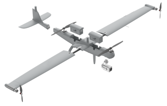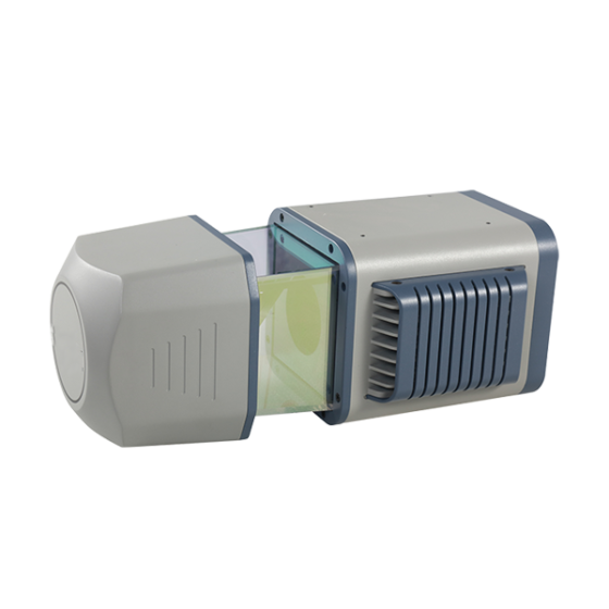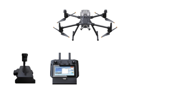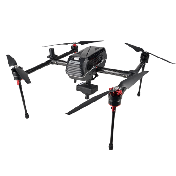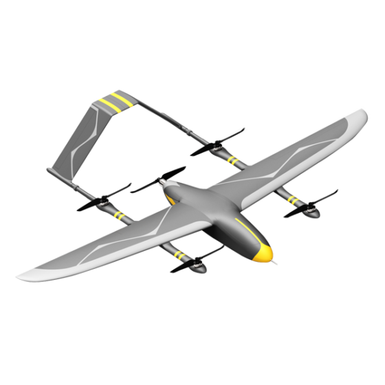
The UAV mapping system is a lightweight multi-platform mobile measurement system. It integrates high-precision laser scanners, attitude positioning systems, and professional imaging systems (aerial survey cameras, panoramic cameras), with higher accuracy and stability. It can be mounted on multiple platforms and can quickly carry different mobile platforms such as drones, helicopters, and cars, suitable for more scenarios. It is widely used in surveying and mapping, land, transporte, electricity, digital cities and other fields.